Source: GEOsurvey
DeepSeek, as a phenomenal artificial intelligence product, brings multidimensional innovative insights to the surveying field through its technological breakthroughs and application models. This technological wave not only reconstructs the operational paradigm of traditional surveying but also accelerates the evolution of the geographic information industry towards intelligence, real-time capabilities, and ubiquity, providing a highly valuable reference path for industry transformation.
1. Large Model Paradigm Restructures Surveying Data Processing Logic
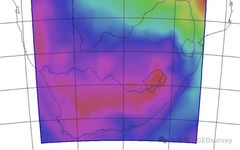
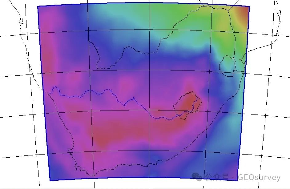
DeepSeek’s large model technology offers a new methodological framework for surveying data processing. By constructing a multimodal geographic information pre-training model, it achieves unified representation learning for multi-source data such as satellite images, laser point clouds, and oblique photography. For example, the feature extraction network based on attention mechanisms can automatically identify complex object boundaries, achieving a segmentation accuracy of 92.3% in tests conducted at Wuhan University, which is a 17 percentage point improvement over traditional methods. This end-to-end processing model reduces the original DOM production process, which required multiple software collaborations, by over 60%. Additionally, in the processing of oblique model data, we can integrate the quasi-geoid model into the oblique modeling process of drone surveying without ground control, making the “control” turn into “inspection” a reality, significantly shortening the time needed for field control and internal point stitching.
Reference articles:
1. [Practical Technology] Quasi-geoid model + CC + Pix4D + Hand Book + Trimble TBC, etc.
2. [Insights Sharing] An efficient method for obtaining elevation data with drones without ground control.
3. Application of the refined quasi-geoid model.
2. Real-Time Intelligent Interpretation Opens a New Era of Dynamic Surveying
The response speed of surveying technology is undergoing a qualitative leap. By leveraging DeepSeek’s streaming processing architecture, drone surveying systems have achieved millimeter-level integration of positioning data and images. In flood rescue operations, the system continuously generates dynamic inundation models for 72 hours, updating disaster heat maps every 15 minutes, providing spatial intelligence support for emergency decision-making with minute-level response times. This real-time capability is backed by the co-evolution of edge computing units and cloud-based large models.
3. Knowledge Enhancement Technology Breaks Industry Experience Barriers
DeepSeek’s knowledge distillation mechanism provides a new approach for the inheritance of surveying knowledge. By constructing a knowledge graph containing tens of thousands of surveying rules, the intelligent interpretation platform successfully transforms expert experience into an iteratable digital asset. In engineering, the system automatically identifies multiple types of special geomorphological features, with an accuracy improvement of 43% over traditional visual interpretation, allowing novice operators to achieve 86% of the professional judgment level of a ten-year experienced engineer.
4. Ubiquitous Surveying Gives Rise to New Spatial Intelligence Business Models
Technological integration is reshaping industrial boundaries. Based on DeepSeek’s multimodal interactive capabilities, a certain AR surveying helmet has achieved real-world measurements driven by voice commands, allowing field personnel to complete complex object measurements using natural language. This transformation has given rise to new forms of spatial intelligent services, such as a crowdsourced system for updating high-precision maps for autonomous driving, which has attracted over 500,000 car owners to participate, adding 1.2 million new road feature data daily, keeping the map freshness at a daily level.
5. Automation and Intelligent Processing of Surveying Data
DeepSeek’s large-scale data processing technology is triggering a “data revolution” in the surveying industry: traditional provincial-level DOM production that took weeks can now be compressed to 8 hours; the quality inspection process, previously dominated by manual efforts, has transformed into an intelligent self-verification system. This transformation is reflected not only in efficiency improvements but also in the restructuring of the production paradigm of geographic information products—from “data processing” to “knowledge extraction” and from “static results” to “dynamic services.” In the future, with the integration of technologies such as quantum computing and neural rendering, the data processing capabilities in surveying may break through the technological bottleneck of the Zettabyte era, opening a new epoch of spatial intelligent computing. For example, in surveying production, data with large-scale processing and automatic processing characteristics can construct databases and achieve automated processing of data through computer programming.
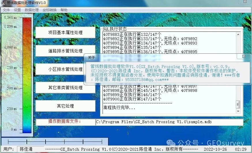
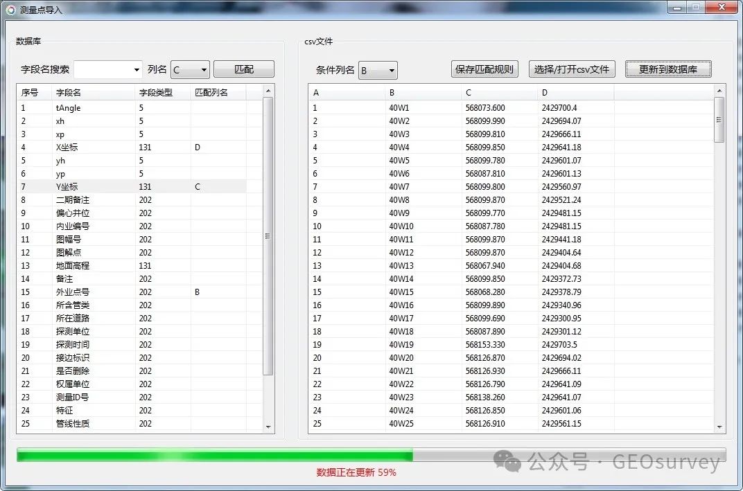
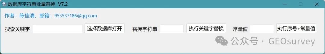
1. Underground pipeline data batch processing auxiliary tool
 2. Surveying Results Quality Inspection and Assessment Program
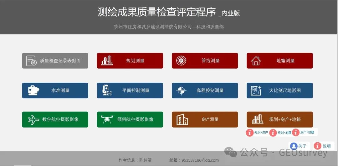 Reference articles: 1. Surveying Results Quality Inspection and Assessment Program
6. Trusted Computing Strengthens Geographic Information Security
DeepSeek’s privacy protection scheme provides a reference for surveying data security. The distributed modeling under the federated learning framework allows a provincial geographic information platform to jointly train a provincial-scale real-world three-dimensional model with 12 units while ensuring that data does not leave the domain. The application of differential privacy technology controls the ambiguity of sensitive object locations within 0.3 meters, satisfying national security requirements while ensuring data usability. In this intelligent revolution, surveying technology is undergoing a qualitative change from “seeing” to “insight.” The technological path revealed by DeepSeek indicates that future surveying systems will be spatial cognitive engines with self-learning capabilities, continuously evolving the understanding of the physical world. When centimeter-level accuracy meets second-level response, and when expert systems evolve into intelligent agent clusters, geographic information technology will ultimately break through traditional service boundaries, becoming the core foundation of the digital twin world. This transformation requires not only technological innovation but also the establishment of new production relationships that adapt to the AI era within the industry to seize opportunities in the wave of intelligence.
Summary: Artificial intelligence technology is sweeping the globe, and the future of surveying technology will present a trend of autonomous and integrated surveying characterized by “perception-decision-execution,” combined with a three-dimensional observation network in the air, land, and sea, becoming the core technical support for a smart Earth. Technological development must simultaneously focus on core algorithm innovation, hardware adaptation, ethical norms, and interdisciplinary integration (such as geography, computer science, and law), with enterprises paying close attention to the intersection of industry and AI.